
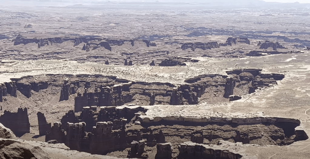
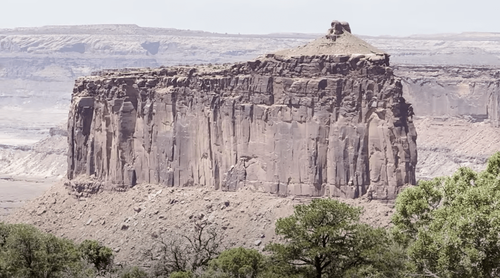
Canyonlands National Park in Utah was established on September 12, 1964. Canyonlands National Park encapsulates the essence of all Utah’s national parks within its vast expanse. Here, visitors can marvel at an array of breathtaking landscapes, including hoodoos, towering pinnacles, deep canyons with a river, striking needles, and magnificent arches. Each feature showcases the park’s unique geological beauty, making it a must-visit destination for nature enthusiasts and adventurers alike. It features a dramatic elevation range, with its lowest point at 3,730 feet along the Colorado River and its highest point reaching 7,120 feet at Cathedral Point. Within the park, the Colorado and Green Rivers converge at a site known as the Confluence, shaping the stunning landscape. One of the park’s highlights is Island in the Sky, a broad, flat mesa accessible through a narrow passage called The Neck. Over time, erosion may lead to the mesa becoming completely isolated. With minimal light pollution and exceptional air quality, this canyon offers an ideal setting for stargazing. This was the second Majestic 5 National Park that we visited.
We started our day exploring the top of the mountain looking for primitive camping after we left Arches National Park. We did not find any free primitive locations so we chose to drive through “Island of the Sky” at Canyonland.
This park is made up of 4 districts. We were in awe of the canyon floors as we stopped at multiple overlooks.
Here are a few options to get you started on your journey.
- Island of the Sky (Seems to be the most popular district)
- Sunrise at Mesa Arch (.7 mile hike)
- Grand View Overlook (1.8 mile hike)
- Upheaval Dome (1.3 mile hike)
- Grand View Overlook (You can elect to hike near the overlook to see other views of the canyon. 1.8 mile hike)
- Needles District (20 mile scenic route drive)
- We drove past the entrance of this area but chose to find a place to camp for the night. I do not suggest going to Arches and Canyonland on the same day if you are planning to explore all areas of Canyonland.
- The Maze (600 ft. decent into the canyon)
- 4 wheel drive roads to explore this area
- The Rivers (river entrance)
- Permits and fees are required for exploring the rivers.
We spent a few hours in this park before moving on to our next experience. We were not in the mood to hike during these hot temperatures so we stopped at most of the overlooks.
Recommendations if needed:
- Visit Deadhorse State Park
- Paid camping near the park
- Gemini Bridges Campground
- Horsethief Campground
Camping
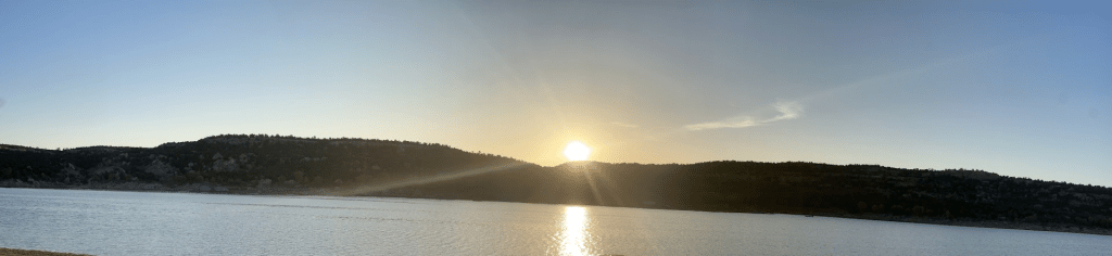
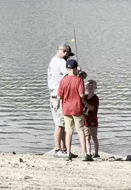
On our journey from Canyonland to Capitol Reef, we discovered the stunning Recapture Reservoir, which offered free primitive camping. We parked near the lake, allowing my children to safely explore the water’s edge for fishing, wading, and swimming, despite the chilly temperature that didn’t deter their enthusiasm. Choosing to extend our stay, we spent two nights there, during which we met Josie, a Navajo Indian who shared her knowledge about the clouds and how to distinguish between storms and spring showers. She graciously invited us to her home to teach our children the art of pottery. Additionally, we connected with a couple from Washington who recommended fantastic spots to visit as we continued our journey toward Washington and Idaho.
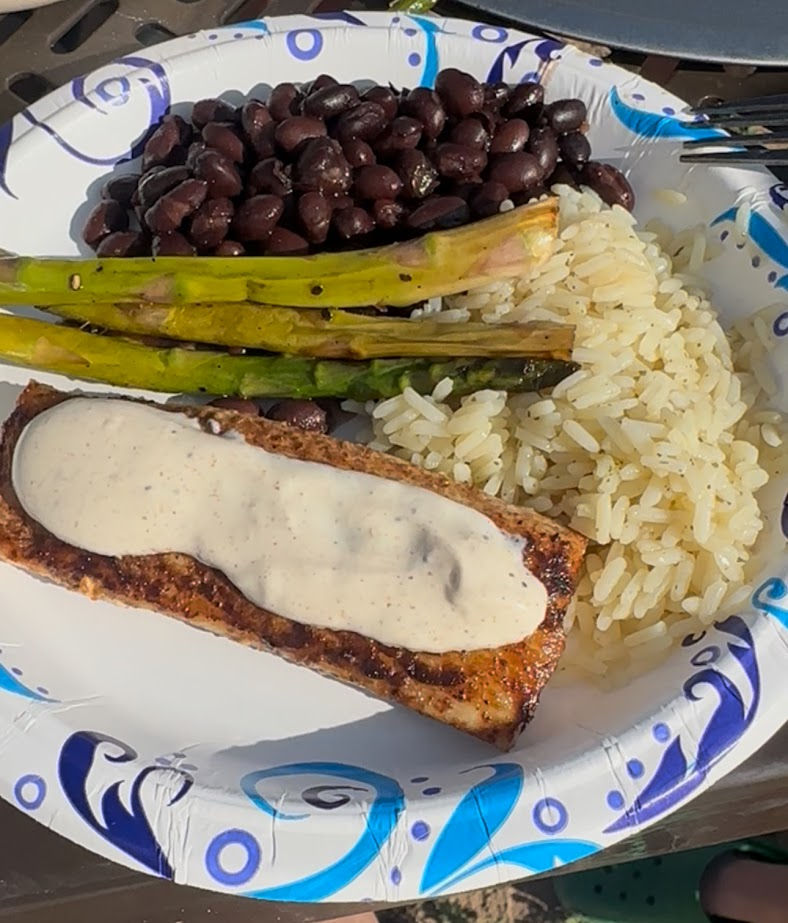
We ate blackened Mahi Mahi, cilantro lime rice, asparagus, and black beans. It was so good! Jeremy makes an incredible remoulade sauce to put on our fish.
This was our favorite primitive campground.
To see more of our experience, click here.
Hiking Trails
I have provided a link and a QR code for you to discover the various trails available at this national park. The website offers a wealth of information to enhance your exploration experience. The info includes:
- difficulty level
- distance of hike
- estimated hike time
- rating
- location of trail

Map
I’m sharing a link to assist you in planning your visit to this national park. This resource includes a detailed map of the park, which will be invaluable for your trip.

Leave a comment