
The intriguing name of Capitol Reef has its roots in the observations of early pioneers who noted that the park’s striking white stone domes bore a resemblance to the Capitol building in Washington, D.C. Meanwhile, the Waterpocket Fold, an impressive 100-mile geological formation adorned with vibrant rock layers reminiscent of a master painter’s brushstrokes, was compared to a vast reef. Like many National Parks, Capitol Reef enforces rules to protect its natural beauty, including a ban on flower picking, though visitors are encouraged to enjoy the seasonal fruit harvest. Unfortunately, due to elevated levels of Coli bacteria, swimming or consuming water from the Fremont River and Sulphur Creek is currently unsafe. Nevertheless, the park provides a remarkable chance to witness breathtaking, unpolluted night skies.
Traveling
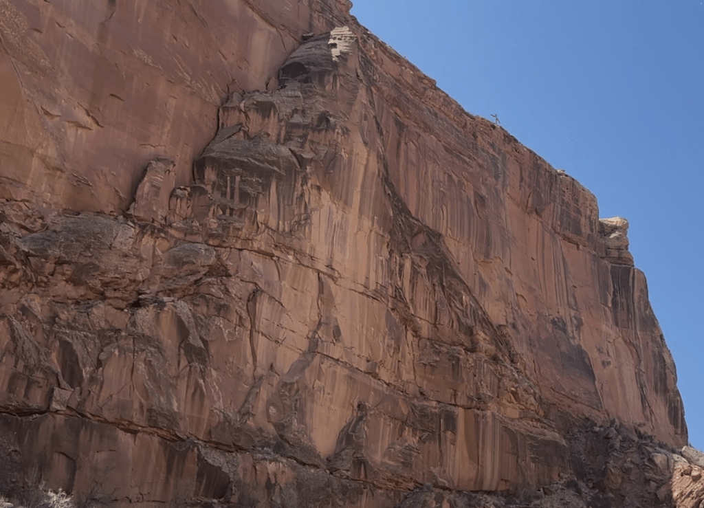
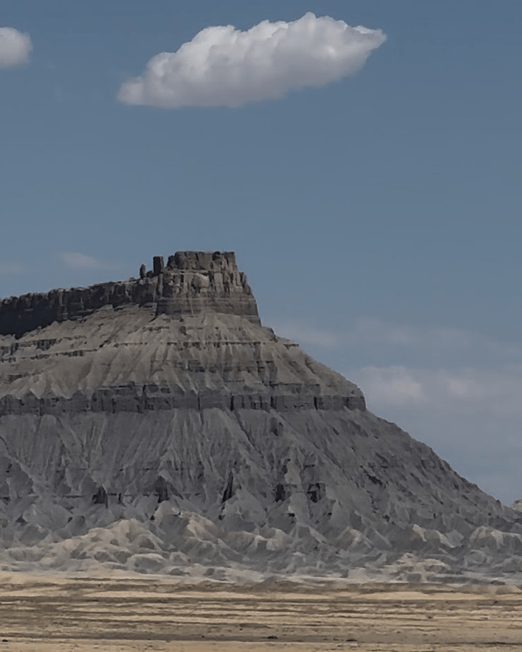
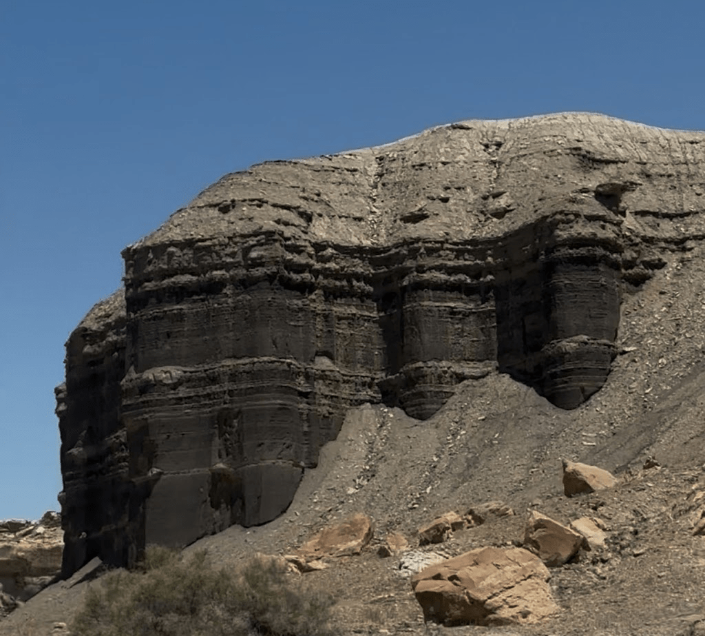
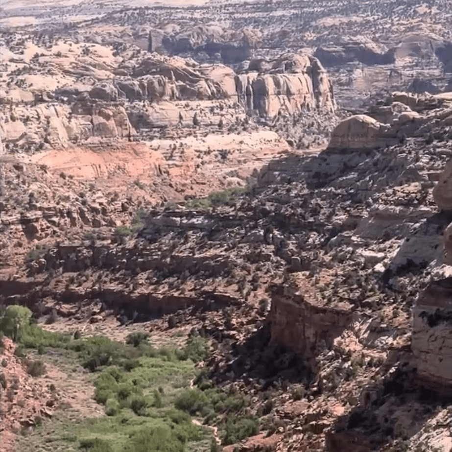
We opted for a scenic detour that added two hours to our journey from Canyonland to Capitol Reef, traveling along Highway 191. This route turned out to be a blessing, as it led us to an incredible campsite by a reservoir, which I highlighted in my Canyonland blog post. As we made our way toward Capitol Reef National Park, we felt as though we were traversing the very base of Canyonland National Park, offering a unique perspective of the canyon from below. The experience was captivating, and we kept our eyes peeled for other campsites that could rival the beauty of the reservoir. Here are a few cool things we saw on our way to the park.
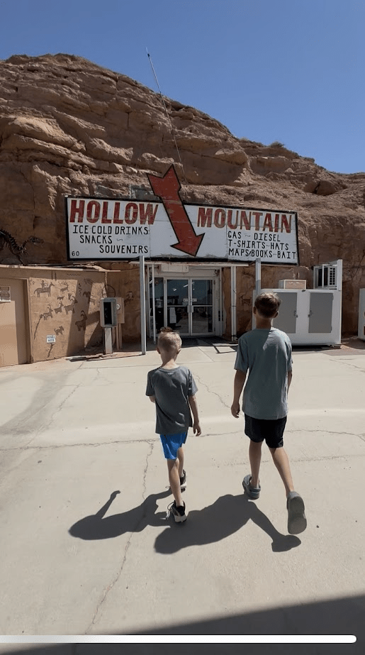
We stopped by a store that was made into the side of a rock mountain.
Capitol Reef
We took a turn onto Highway 24, which guided us through the stunning landscapes of Capitol Reef National Park. The Grand Wash Trail, a 4.7-mile hike that meanders through a picturesque canyon to the Scenic Drive Road, was highly recommended. However, after checking Google Maps, we decided it wasn’t the best choice for our family, especially with kids in tow. To be honest, we didn’t venture far from the car during our visit. With the Scenic Drive closed for construction and temperatures soaring to 90 degrees, we opted to stay cool instead of hiking. We saw many orchards inside the park but no trees were bearing fruit. As a result, our time in the park was brief, and I only managed to capture a few photos before we were on our way, having spent less than an hour there.
Here are some recommended options if you desire to visit this park:
- Grand Wash Trail 4.7 mile hike
- Fremont Culture Petroglyphs Boardwalk (binoculars may be needed) 2.1 mile hike
- Sulfur Creed Waterfall Hike 1.7 mile hike
- Gooseneck Point/Sunset Point .2 mile overlook trail
Another suggestion is to visit Goblin Valley State Park:
- Little Wildhorse Canyon Trail (3.3 miles end to end)
- Temple Mountain Wash Pictograph (located on the side of the road)
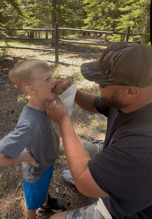
On our way to Bryce Canyon National Park, we took the scenic route along Byway 12, which turned out to be one of the most beautiful drives we experienced. The sights in Escalante were captivating, and we were particularly enchanted by the stunning landscapes of Dixie National Forest. During a lunch break at a rest area, Lawson had an exciting milestone—he lost his first tooth.
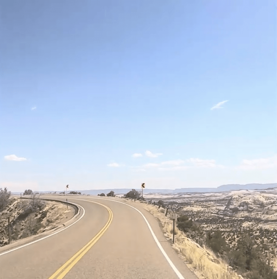
We continued our journey along a highway that appeared as if a mountain had been sliced across the top to make way for the road. On either side, steep drop-offs loomed, creating a sense of unease as we navigated this stretch with no guardrails. The experience was both thrilling and terrifying, heightening our awareness of the precariousness of the drive.
To see our journey at this national park, click here.
Hiking Trails
I have provided a link and a QR code for you to discover the various trails available at this national park. The website offers a wealth of information to enhance your exploration experience. The info includes:
- difficulty level
- distance of hike
- estimated hike time
- rating
- location of trail

Map
I’m sharing a link to assist you in planning your visit to this national park. This resource includes a detailed map of the park, which will be invaluable for your trip.

Leave a comment